


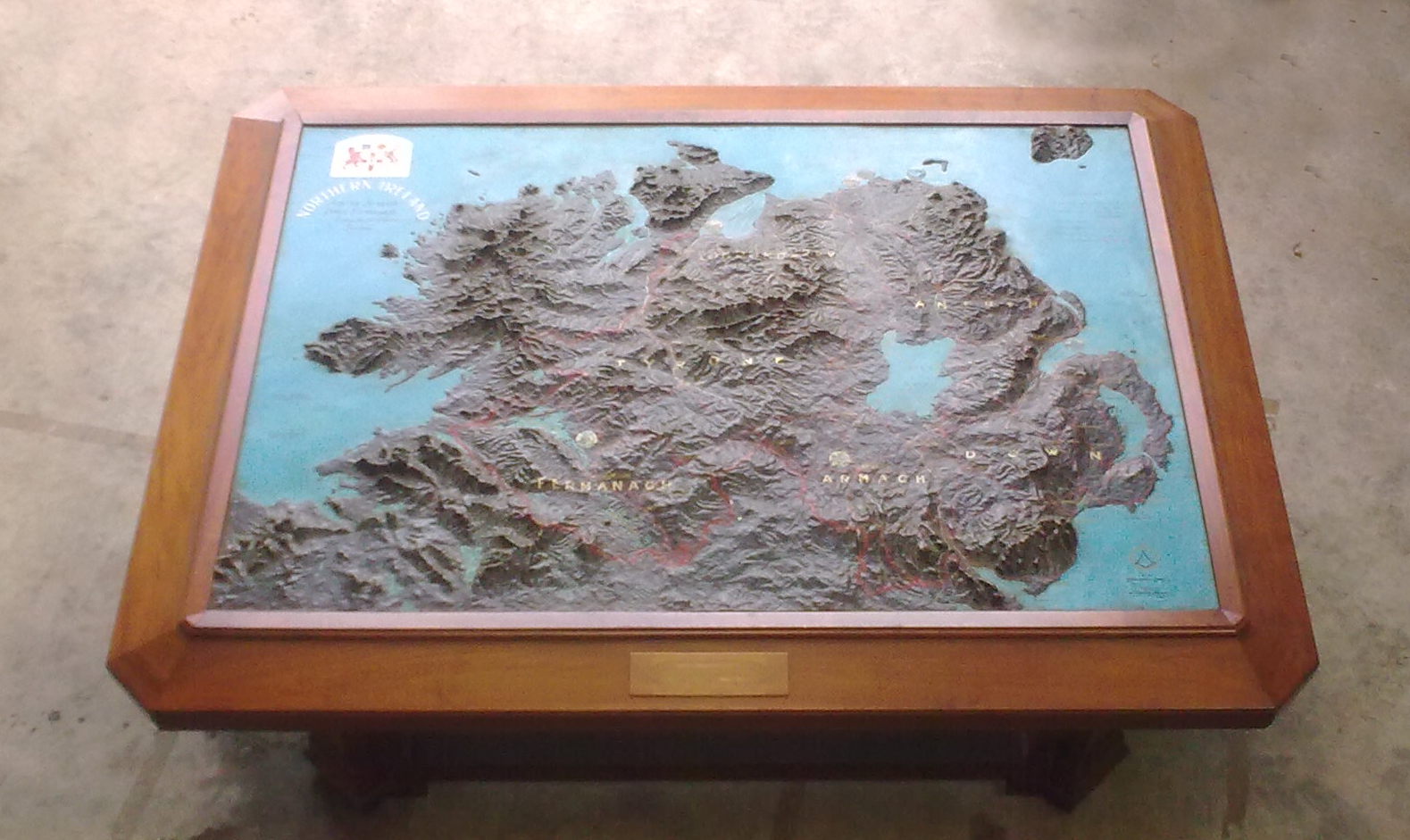
A Bespoke Wooden Table made with an inlaid relief Map of Northern Ireland.
In ArchiveThe wooden Table is made with a bevelled wooden edge surrounding a relief Map of the North of the island of Ireland
The wooden Table is made with a bevelled wooden edge surrounding a relief Map of the North of the island of Ireland, including Northern Ireland’s six Counties.
The map has a painted delineation of the Border, and each of the Six Counties, comprising Northern Ireland each named & painted thereon.
It is unknown what date the Table’s construction is from, but the inclusion of the Northern Ireland Crest, with Supporters, in the top Left , which said Armorial device was only given under Royal Warrant at a later date (in 1924 & 1925, respectively, for the Coat of Arms and Supporters) suggests it is of a later construction date than 1921.
Owned by NI Assembly. Image reproduced with the permission of the Northern Ireland Assembly.